A5020 Crewe Green Link Road
Introduction
The photograph on this page of A5020 Crewe Green Link Road by Steve Lewin as part of the Geograph project.
The Geograph project started in 2005 with the aim of publishing, organising and preserving representative images for every square kilometre of Great Britain, Ireland and the Isle of Man.

There are currently over 7.5m images from over 14,400 individuals and you can help contribute to the project by visiting https://www.geograph.org.uk
A5020 Crewe Green Link Road
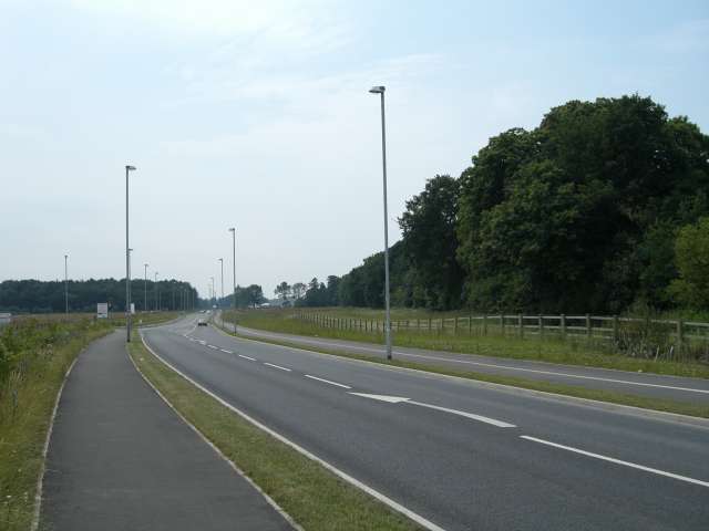
Image: © Steve Lewin Taken: 5 Jul 2006
This Link road allows north/south through traffic to bypass some of the busiest parts Crewe. In the distance on the left is part of Rookery Wood. To the right of the road is Quaker's Coppice.
Images are licensed for reuse under creativecommons.org/licenses/by-sa/2.0
Image Location
Latitude
53.085198
Longitude
-2.413516