Crossroads on Chartham Downs Road
Introduction
The photograph on this page of Crossroads on Chartham Downs Road by David Anstiss as part of the Geograph project.
The Geograph project started in 2005 with the aim of publishing, organising and preserving representative images for every square kilometre of Great Britain, Ireland and the Isle of Man.

There are currently over 7.5m images from over 14,400 individuals and you can help contribute to the project by visiting https://www.geograph.org.uk
Crossroads on Chartham Downs Road
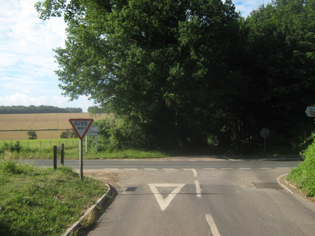
Image: © David Anstiss Taken: 18 Jul 2010
Iffin Lane from Canterbury becomes Redhouse Lane leading towards the B2068 Stone Street. Chartham Downs Road leads left towards Street End, or right towards Chartham Downs.
Images are licensed for reuse under creativecommons.org/licenses/by-sa/2.0
Image Location
Latitude
51.237837
Longitude
1.064008