Woody Island
Introduction
The photograph on this page of Woody Island by william as part of the Geograph project.
The Geograph project started in 2005 with the aim of publishing, organising and preserving representative images for every square kilometre of Great Britain, Ireland and the Isle of Man.

There are currently over 7.5m images from over 14,400 individuals and you can help contribute to the project by visiting https://www.geograph.org.uk
Woody Island
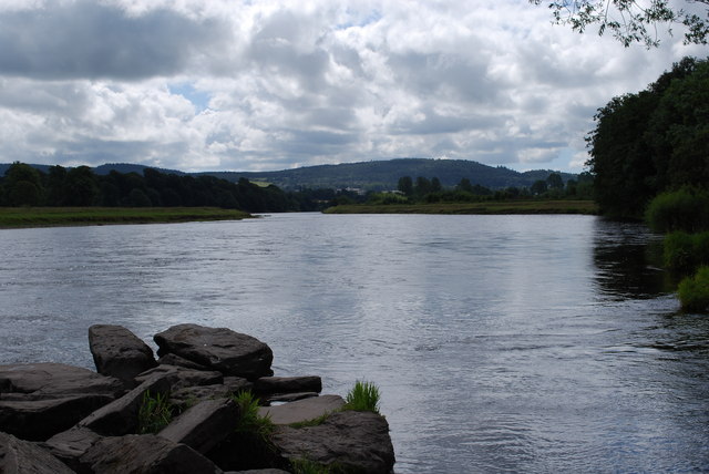
Image: © william Taken: 13 Jul 2010
Looking south down the Tay with Kinnoull Hill in the distance. When I was growing up here in the 70s, Woody Island was always very popular with local kids. On this summer day during the school holidays,it was deserted.Generation X Box do not seem to play outdoors these days.
Images are licensed for reuse under creativecommons.org/licenses/by-sa/2.0
Image Location
Latitude
56.419016
Longitude
-3.447848