Limb Brook or Fenny Brook
Introduction
The photograph on this page of Limb Brook or Fenny Brook by Martin Speck as part of the Geograph project.
The Geograph project started in 2005 with the aim of publishing, organising and preserving representative images for every square kilometre of Great Britain, Ireland and the Isle of Man.

There are currently over 7.5m images from over 14,400 individuals and you can help contribute to the project by visiting https://www.geograph.org.uk
Limb Brook or Fenny Brook
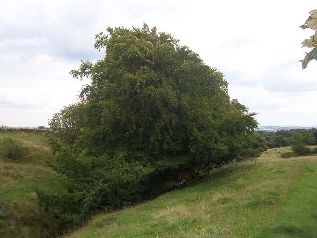
Image: © Martin Speck Taken: 13 Aug 2009
Limb Brook where it passes through Barber Fields. Sidney Addy, in his 1888 book on the Sheffield dialect states that, "A stream called, on the ordnance survey map, Fenny Brook," flowed here. The modern OS map now shows this as Limb Brook. Although this area is now farmland there is historical evidence that a shallow coal drift-mine served by a short railway once existed in these fields. All that remains of this industry is a spoil-tip on the North bank of the brook.
Images are licensed for reuse under creativecommons.org/licenses/by-sa/2.0
Image Location
Latitude
53.348137
Longitude
-1.564637