Oxford North Junction
Introduction
The photograph on this page of Oxford North Junction by Peter Whatley as part of the Geograph project.
The Geograph project started in 2005 with the aim of publishing, organising and preserving representative images for every square kilometre of Great Britain, Ireland and the Isle of Man.

There are currently over 7.5m images from over 14,400 individuals and you can help contribute to the project by visiting https://www.geograph.org.uk
Oxford North Junction
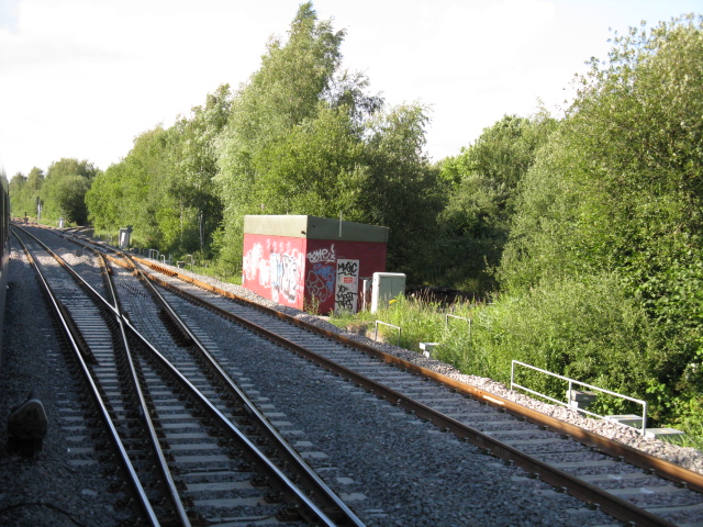
Image: © Peter Whatley Taken: 17 Jul 2010
The point of divergence for the former line to Cambridge is just under one mile north of Oxford station, though that route and the main line north continue alongside for some distance further, a relic of the parallel approaches of the Great Western and London & North Western Railways to separate stations in Oxford.
Images are licensed for reuse under creativecommons.org/licenses/by-sa/2.0
Image Location
Latitude
51.770144
Longitude
-1.274189