Polcrebo Downs
Introduction
The photograph on this page of Polcrebo Downs by Sheila Russell as part of the Geograph project.
The Geograph project started in 2005 with the aim of publishing, organising and preserving representative images for every square kilometre of Great Britain, Ireland and the Isle of Man.

There are currently over 7.5m images from over 14,400 individuals and you can help contribute to the project by visiting https://www.geograph.org.uk
Polcrebo Downs
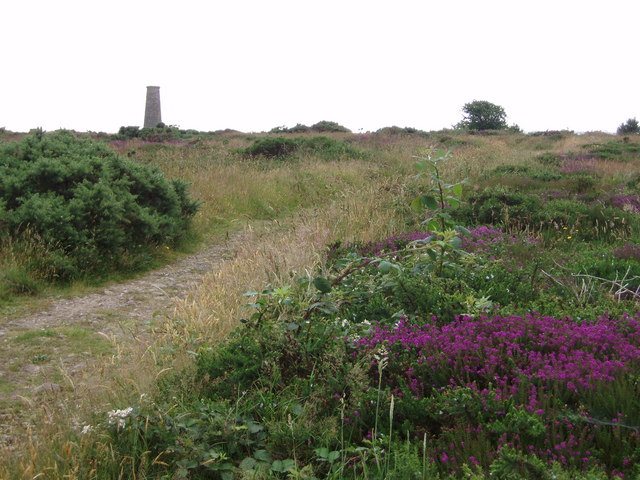
Image: © Sheila Russell Taken: 5 Jul 2006
Chimney of old mine, probably Crowan and Wendron mine (also known as Wheal Releath).
Images are licensed for reuse under creativecommons.org/licenses/by-sa/2.0
Image Location
Latitude
50.152995
Longitude
-5.293874