Audlem: River Weaver from canal aqueduct
Introduction
The photograph on this page of Audlem: River Weaver from canal aqueduct by Christopher Hilton as part of the Geograph project.
The Geograph project started in 2005 with the aim of publishing, organising and preserving representative images for every square kilometre of Great Britain, Ireland and the Isle of Man.

There are currently over 7.5m images from over 14,400 individuals and you can help contribute to the project by visiting https://www.geograph.org.uk
Audlem: River Weaver from canal aqueduct
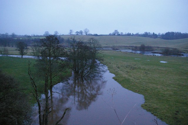
Image: © Christopher Hilton Taken: 16 Jan 2010
The Weaver valley from the canal towpath on the aqueduct. January snows melting had brought the river right up to the top of its banks. For the same view in summer, see Image
Images are licensed for reuse under creativecommons.org/licenses/by-sa/2.0
Image Location
Latitude
52.996257
Longitude
-2.515321