Stalybridge: Huddersfield Narrow Canal: Site of Bridge 98
Introduction
The photograph on this page of Stalybridge: Huddersfield Narrow Canal: Site of Bridge 98 by Dr Neil Clifton as part of the Geograph project.
The Geograph project started in 2005 with the aim of publishing, organising and preserving representative images for every square kilometre of Great Britain, Ireland and the Isle of Man.

There are currently over 7.5m images from over 14,400 individuals and you can help contribute to the project by visiting https://www.geograph.org.uk
Stalybridge: Huddersfield Narrow Canal: Site of Bridge 98
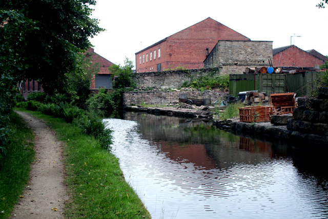
Image: © Dr Neil Clifton Taken: 10 Jul 2010
This would have been the bridge carrying the now-lifted Stalybridge to Diggle loop, sometimes known as the Micklehurst loop. It originally had four stations, which from the Stalybridge end, were Staley & Millbrook, Micklehurst, Friezland, and Upper Mill (sic). But these were all closed long ago, before the First World War. The line continued to be used for freight and for the odd through passenger train diverted this way, until 1966, but was not lifted for some time after that.
Images are licensed for reuse under creativecommons.org/licenses/by-sa/2.0
Image Location
Latitude
53.485096
Longitude
-2.049541