Entrance to Cardiff Bay railway station
Introduction
The photograph on this page of Entrance to Cardiff Bay railway station by Jaggery as part of the Geograph project.
The Geograph project started in 2005 with the aim of publishing, organising and preserving representative images for every square kilometre of Great Britain, Ireland and the Isle of Man.

There are currently over 7.5m images from over 14,400 individuals and you can help contribute to the project by visiting https://www.geograph.org.uk
Entrance to Cardiff Bay railway station
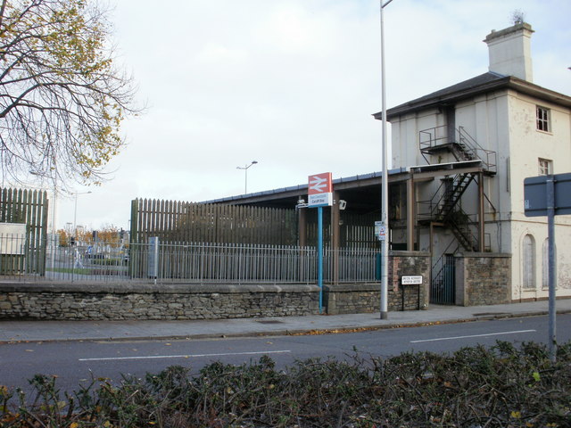
Image: © Jaggery Taken: 24 Oct 2009
The monotony of a long wall http://www.geograph.org.uk/photo/1966126 on the railway (east) side of Bute Street finally ends at the station entrance, near the southern end of the street. The station (previously Cardiff Bute Road and originally Cardiff Docks) is the southern terminus of the Butetown branch, about 1 mile (1.5 km) south of Cardiff Queen Street station.
Images are licensed for reuse under creativecommons.org/licenses/by-sa/2.0
Image Location
Latitude
51.46635
Longitude
-3.167449