The Banbridge bypass (northbound)
Introduction
The photograph on this page of The Banbridge bypass (northbound) by Albert Bridge as part of the Geograph project.
The Geograph project started in 2005 with the aim of publishing, organising and preserving representative images for every square kilometre of Great Britain, Ireland and the Isle of Man.

There are currently over 7.5m images from over 14,400 individuals and you can help contribute to the project by visiting https://www.geograph.org.uk
The Banbridge bypass (northbound)
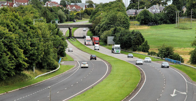
Image: © Albert Bridge Taken: 17 Jul 2010
The Banbridge bypass (looking towards Dromore and Belfast) seen from the flyover Image on the Rathfriland Road. The southbound off-slip is at bottom right. The town has expanded considerably, eastwards towards the bypass. The landscaping has done its job well but a bit more at middle/lower right might improve matters even more.
Images are licensed for reuse under creativecommons.org/licenses/by-sa/2.0
Image Location
Latitude
54.34255
Longitude
-6.257232