Hastings Information Centre
Introduction
The photograph on this page of Hastings Information Centre by N Chadwick as part of the Geograph project.
The Geograph project started in 2005 with the aim of publishing, organising and preserving representative images for every square kilometre of Great Britain, Ireland and the Isle of Man.

There are currently over 7.5m images from over 14,400 individuals and you can help contribute to the project by visiting https://www.geograph.org.uk
Hastings Information Centre
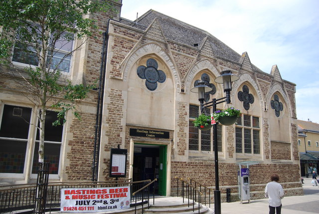
Image: © N Chadwick Taken: 9 Jun 2010
Built in 1870, with a mock gothic frontage.
Images are licensed for reuse under creativecommons.org/licenses/by-sa/2.0
Image Location
Latitude
50.856221
Longitude
0.579207