Former crossing-keeper's cottage
Introduction
The photograph on this page of Former crossing-keeper's cottage by John Sutton as part of the Geograph project.
The Geograph project started in 2005 with the aim of publishing, organising and preserving representative images for every square kilometre of Great Britain, Ireland and the Isle of Man.

There are currently over 7.5m images from over 14,400 individuals and you can help contribute to the project by visiting https://www.geograph.org.uk
Former crossing-keeper's cottage
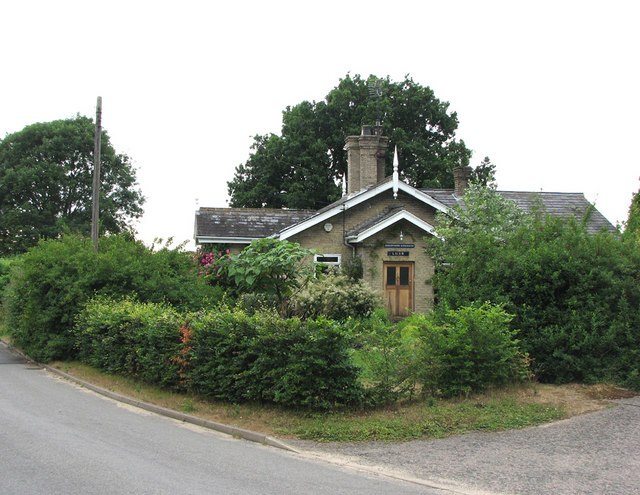
Image: © John Sutton Taken: 14 Jul 2010
This was once the site of a level crossing on the Wickham Market to Framlingham branch line, which closed to passengers (school specials excepted) in 1952 and to goods in 1965. The wing on the right is a modern addition.
Images are licensed for reuse under creativecommons.org/licenses/by-sa/2.0
Image Location
Latitude
52.203828
Longitude
1.34759