Confluence of the Tees and Leven
Introduction
The photograph on this page of Confluence of the Tees and Leven by Chris Heaton as part of the Geograph project.
The Geograph project started in 2005 with the aim of publishing, organising and preserving representative images for every square kilometre of Great Britain, Ireland and the Isle of Man.

There are currently over 7.5m images from over 14,400 individuals and you can help contribute to the project by visiting https://www.geograph.org.uk
Confluence of the Tees and Leven
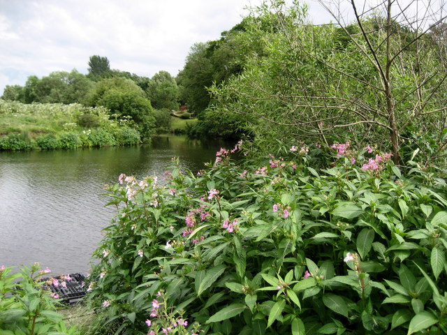
Image: © Chris Heaton Taken: 7 Jul 2010
The River Leven empties its waters into the River Tees at this point near Roundhill, after an erratic journey that commences in the Cleveland Hills.
Images are licensed for reuse under creativecommons.org/licenses/by-sa/2.0
Image Location
Latitude
54.508511
Longitude
-1.336796