Benchmark on barn
Introduction
The photograph on this page of Benchmark on barn by Roger Templeman as part of the Geograph project.
The Geograph project started in 2005 with the aim of publishing, organising and preserving representative images for every square kilometre of Great Britain, Ireland and the Isle of Man.

There are currently over 7.5m images from over 14,400 individuals and you can help contribute to the project by visiting https://www.geograph.org.uk
Benchmark on barn
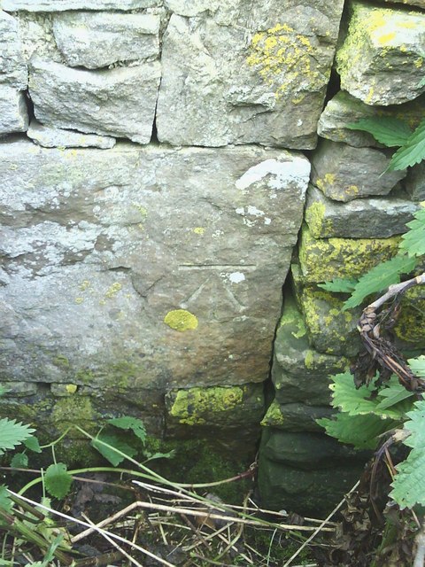
Image: © Roger Templeman Taken: 14 Jul 2010
The barn is on the north side of the minor road going east from Burtersett and west of the junction of Mire Bank Lane and High Lane. The Ordnance Survey cut mark benchmark, exposed by clearing nettles, is described on the Bench Mark Database at http://www.bench-marks.org.uk/bm27803
Images are licensed for reuse under creativecommons.org/licenses/by-sa/2.0
Image Location


Leaflet Map data © OpenStreetMap
Latitude
54.298389
Longitude
-2.166372