Track from High Quebec Farm
Introduction
The photograph on this page of Track from High Quebec Farm by Martin Dawes as part of the Geograph project.
The Geograph project started in 2005 with the aim of publishing, organising and preserving representative images for every square kilometre of Great Britain, Ireland and the Isle of Man.

There are currently over 7.5m images from over 14,400 individuals and you can help contribute to the project by visiting https://www.geograph.org.uk
Track from High Quebec Farm
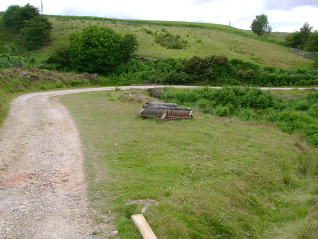
Image: © Martin Dawes Taken: 7 Jul 2009
This track goes to the A169. In the centre on the curving track is a small bridge, there used to be a ford here across Wash Beck. The source of Wash Beck is higher up the moor on the left of this photo.
Images are licensed for reuse under creativecommons.org/licenses/by-sa/2.0
Image Location


Leaflet Map data © OpenStreetMap
Latitude
54.426835
Longitude
-0.664983