Trans Pennine Trail
Introduction
The photograph on this page of Trans Pennine Trail by Michael Patterson as part of the Geograph project.
The Geograph project started in 2005 with the aim of publishing, organising and preserving representative images for every square kilometre of Great Britain, Ireland and the Isle of Man.

There are currently over 7.5m images from over 14,400 individuals and you can help contribute to the project by visiting https://www.geograph.org.uk
Trans Pennine Trail
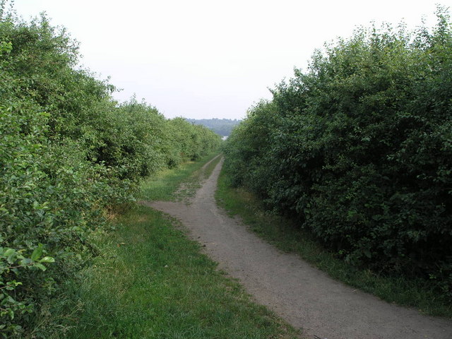
Image: © Michael Patterson Taken: 4 Jul 2006
This section of the Trans Pennine Trail passes through the foothills east of Sheffield. The light coloured dot in the trees is part of a large lake.
Images are licensed for reuse under creativecommons.org/licenses/by-sa/2.0
Image Location
Latitude
53.369956
Longitude
-1.343182