The view NW along Church Street, Newport
Introduction
The photograph on this page of The view NW along Church Street, Newport by Jaggery as part of the Geograph project.
The Geograph project started in 2005 with the aim of publishing, organising and preserving representative images for every square kilometre of Great Britain, Ireland and the Isle of Man.

There are currently over 7.5m images from over 14,400 individuals and you can help contribute to the project by visiting https://www.geograph.org.uk
The view NW along Church Street, Newport
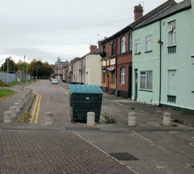
Image: © Jaggery Taken: 5 Oct 2009
Viewed from opposite The Greenhouse, looking past the Ship and Pilot http://www.geograph.org.uk/photo/1964268 on the corner of St Michael Street, towards the corner of Commercial Road and Alexandra Road in the distance.
Images are licensed for reuse under creativecommons.org/licenses/by-sa/2.0
Image Location
Latitude
51.574998
Longitude
-2.988408