West Buckfastleigh: at Scoriton
Introduction
The photograph on this page of West Buckfastleigh: at Scoriton by Martin Bodman as part of the Geograph project.
The Geograph project started in 2005 with the aim of publishing, organising and preserving representative images for every square kilometre of Great Britain, Ireland and the Isle of Man.

There are currently over 7.5m images from over 14,400 individuals and you can help contribute to the project by visiting https://www.geograph.org.uk
West Buckfastleigh: at Scoriton
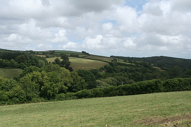
Image: © Martin Bodman Taken: 15 Jul 2010
Looking down the valley of the Holy Brook from the car park of The Tradesman's Arms. Hembury Woods are on the skyline, right; part of the National Trust estate
Images are licensed for reuse under creativecommons.org/licenses/by-sa/2.0
Image Location
Latitude
50.501947
Longitude
-3.826988