View across Hollow Road Farm to sugar factory area
Introduction
The photograph on this page of View across Hollow Road Farm to sugar factory area by John Goldsmith as part of the Geograph project.
The Geograph project started in 2005 with the aim of publishing, organising and preserving representative images for every square kilometre of Great Britain, Ireland and the Isle of Man.

There are currently over 7.5m images from over 14,400 individuals and you can help contribute to the project by visiting https://www.geograph.org.uk
View across Hollow Road Farm to sugar factory area
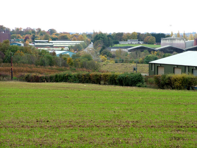
Image: © John Goldsmith Taken: 26 Oct 2009
Hollow Road heads straight up the middle of the shot, with an industrial estate on the left (East). To the right the Social Club for the sugar factory can be seen overlooking its sports field. The neat bank in the middle ground retains water in a pond, probably for the factory rather than the farm. A road is hidden in the bottom of the valley.
Images are licensed for reuse under creativecommons.org/licenses/by-sa/2.0
Image Location
Latitude
52.254322
Longitude
0.727994