Track in Quaives Farm
Introduction
The photograph on this page of Track in Quaives Farm by David Anstiss as part of the Geograph project.
The Geograph project started in 2005 with the aim of publishing, organising and preserving representative images for every square kilometre of Great Britain, Ireland and the Isle of Man.

There are currently over 7.5m images from over 14,400 individuals and you can help contribute to the project by visiting https://www.geograph.org.uk
Track in Quaives Farm
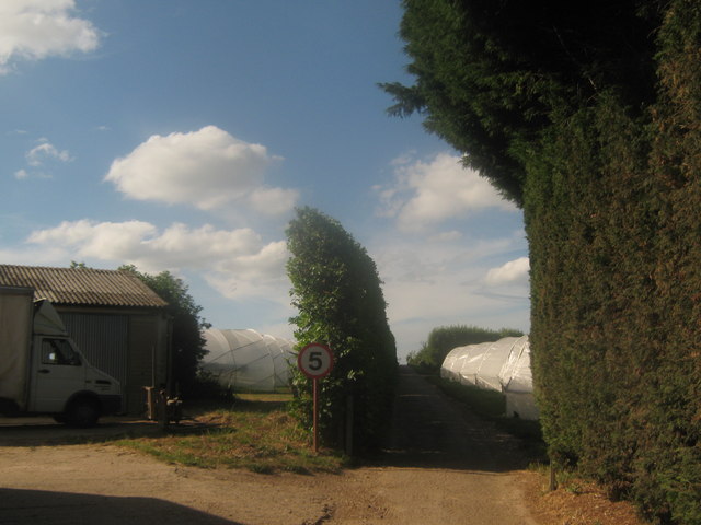
Image: © David Anstiss Taken: 11 Jul 2010
This farm track leads to several fields of polytunnels of the farm. It is also the route of a footpath from Grove Road to Hollybush Lane.
Images are licensed for reuse under creativecommons.org/licenses/by-sa/2.0
Image Location
Latitude
51.289514
Longitude
1.183498