Footpath from Etherton Way to Vale Road
Introduction
The photograph on this page of Footpath from Etherton Way to Vale Road by Robin Webster as part of the Geograph project.
The Geograph project started in 2005 with the aim of publishing, organising and preserving representative images for every square kilometre of Great Britain, Ireland and the Isle of Man.

There are currently over 7.5m images from over 14,400 individuals and you can help contribute to the project by visiting https://www.geograph.org.uk
Footpath from Etherton Way to Vale Road
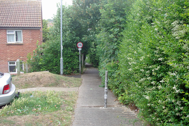
Image: © Robin Webster Taken: 15 Jul 2010
A steep connection with a chicane and barrier at the bottom to save runaways from the worst trouble.
Images are licensed for reuse under creativecommons.org/licenses/by-sa/2.0
Image Location
Latitude
50.779665
Longitude
0.115221