Bench Mark, Bangor
Introduction
The photograph on this page of Bench Mark, Bangor by Rossographer as part of the Geograph project.
The Geograph project started in 2005 with the aim of publishing, organising and preserving representative images for every square kilometre of Great Britain, Ireland and the Isle of Man.

There are currently over 7.5m images from over 14,400 individuals and you can help contribute to the project by visiting https://www.geograph.org.uk
Bench Mark, Bangor
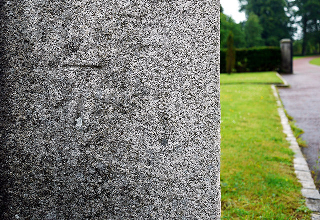
Image: © Rossographer Taken: 14 Jul 2010
Cut bench mark on the left gatepost at the entrance to the Clandeboye Estate off the Belfast Road on the western edge of Bangor. Interestingly, I can find no records for this mark, nor is it mentioned on any OSNI map I can find. Just behind this post is the former Clandeboye Post Office which is supposed to have a flush bracket bench mark, numbered OSBM 3469, on it (the building is apparently now a private house so I didn't look too hard or take a picture but again I can find no trace of this mark on any OSNI map). See also http://www.geograph.org.uk/search.php?i=11037856 for many other examples I have found.
Images are licensed for reuse under creativecommons.org/licenses/by-sa/2.0
Image Location
Latitude
54.646685
Longitude
-5.717159