Sandhill; Newcastle Upon Tyne
Introduction
The photograph on this page of Sandhill; Newcastle Upon Tyne by Trevor Littlewood as part of the Geograph project.
The Geograph project started in 2005 with the aim of publishing, organising and preserving representative images for every square kilometre of Great Britain, Ireland and the Isle of Man.

There are currently over 7.5m images from over 14,400 individuals and you can help contribute to the project by visiting https://www.geograph.org.uk
Sandhill; Newcastle Upon Tyne
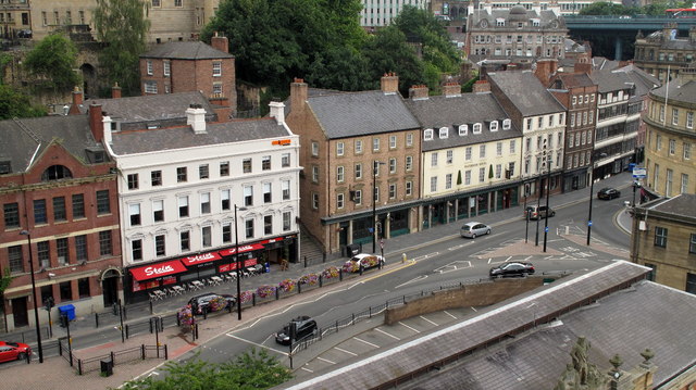
Image: © Trevor Littlewood Taken: 14 Jul 2010
Sandhill is an old street of the Quayside area of Newcastle Upon Tyne; it's seen here from the High Level Bridge.
Images are licensed for reuse under creativecommons.org/licenses/by-sa/2.0
Image Location
Latitude
54.968374
Longitude
-1.609158