Sheepfoot Lane
Introduction
The photograph on this page of Sheepfoot Lane by Bill Boaden as part of the Geograph project.
The Geograph project started in 2005 with the aim of publishing, organising and preserving representative images for every square kilometre of Great Britain, Ireland and the Isle of Man.

There are currently over 7.5m images from over 14,400 individuals and you can help contribute to the project by visiting https://www.geograph.org.uk
Sheepfoot Lane
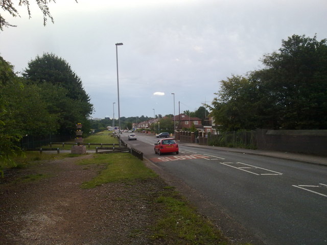
Image: © Bill Boaden Taken: 14 Jul 2010
On the right is the beginning of the railway tunnel under Heaton Park now used by Metrolink. The junction beyond is with Meade Hill Road. Heaton Park occupies the whole left side of the road.
Images are licensed for reuse under creativecommons.org/licenses/by-sa/2.0
Image Location
Latitude
53.527439
Longitude
-2.254896