Footpath to Picketts Lane
Introduction
The photograph on this page of Footpath to Picketts Lane by Robin Webster as part of the Geograph project.
The Geograph project started in 2005 with the aim of publishing, organising and preserving representative images for every square kilometre of Great Britain, Ireland and the Isle of Man.

There are currently over 7.5m images from over 14,400 individuals and you can help contribute to the project by visiting https://www.geograph.org.uk
Footpath to Picketts Lane
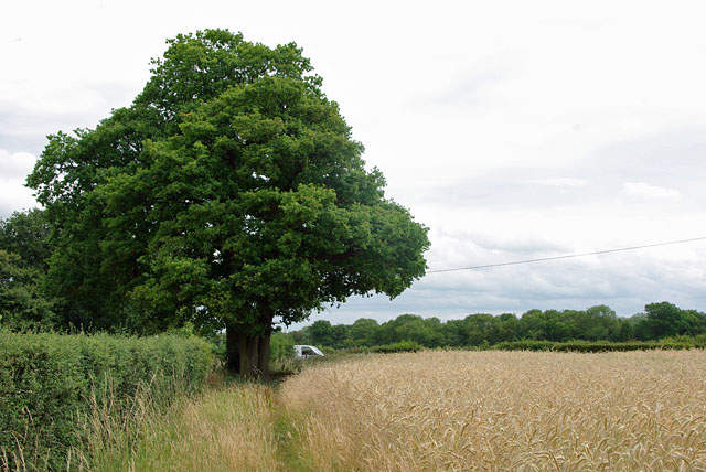
Image: © Robin Webster Taken: 14 Jul 2010
Along the edge of a field growing barley. The field over the hedge on the left was also growing barley.
Images are licensed for reuse under creativecommons.org/licenses/by-sa/2.0
Image Location
Latitude
51.199104
Longitude
-0.154622