Old Marl Hole, Sandyford
Introduction
The photograph on this page of Old Marl Hole, Sandyford by Steve Lewin as part of the Geograph project.
The Geograph project started in 2005 with the aim of publishing, organising and preserving representative images for every square kilometre of Great Britain, Ireland and the Isle of Man.

There are currently over 7.5m images from over 14,400 individuals and you can help contribute to the project by visiting https://www.geograph.org.uk
Old Marl Hole, Sandyford
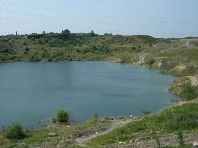
Image: © Steve Lewin Taken: 4 Jul 2006
You'll find this marked on the map as Clay Pit (dis) but in this area all such disused diggings are called Marl Holes, marl being a specific type of clay once used in the pottery industry.
Images are licensed for reuse under creativecommons.org/licenses/by-sa/2.0
Image Location
Latitude
53.069556
Longitude
-2.207408