Ford near Warrenpoint
Introduction
The photograph on this page of Ford near Warrenpoint by Albert Bridge as part of the Geograph project.
The Geograph project started in 2005 with the aim of publishing, organising and preserving representative images for every square kilometre of Great Britain, Ireland and the Isle of Man.

There are currently over 7.5m images from over 14,400 individuals and you can help contribute to the project by visiting https://www.geograph.org.uk
Ford near Warrenpoint
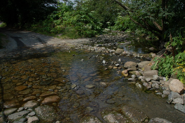
Image: © Albert Bridge Taken: 4 Jul 2006
There are not many fords in Co Down – I know of only one other. This one is near Warrenpoint on a lane running from the Rostrevor Road to the Moygannon Road.
Images are licensed for reuse under creativecommons.org/licenses/by-sa/2.0
Image Location
Latitude
54.102687
Longitude
-6.23505