Former North Cornwall Railway Cutting
Introduction
The photograph on this page of Former North Cornwall Railway Cutting by roger geach as part of the Geograph project.
The Geograph project started in 2005 with the aim of publishing, organising and preserving representative images for every square kilometre of Great Britain, Ireland and the Isle of Man.

There are currently over 7.5m images from over 14,400 individuals and you can help contribute to the project by visiting https://www.geograph.org.uk
Former North Cornwall Railway Cutting
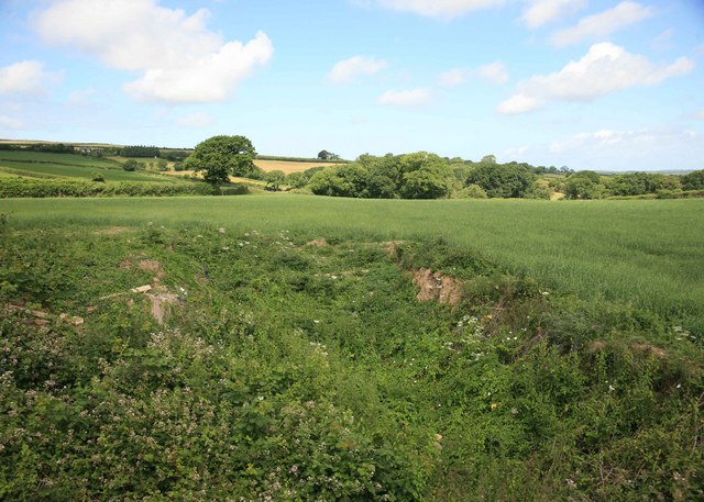
Image: © roger geach Taken: 5 Jul 2010
Not much left to see here as the cutting which the railway went through has been filled in to take the land back for agricultural use. This is the view looking towards Tresmeer Station Closed October 1966.From this bridge very little remains of the railway.
Images are licensed for reuse under creativecommons.org/licenses/by-sa/2.0
Image Location


Leaflet Map data © OpenStreetMap
Latitude
50.662898
Longitude
-4.489245