Westbourne Terrace, Budleigh Salterton
Introduction
The photograph on this page of Westbourne Terrace, Budleigh Salterton by Derek Harper as part of the Geograph project.
The Geograph project started in 2005 with the aim of publishing, organising and preserving representative images for every square kilometre of Great Britain, Ireland and the Isle of Man.

There are currently over 7.5m images from over 14,400 individuals and you can help contribute to the project by visiting https://www.geograph.org.uk
Westbourne Terrace, Budleigh Salterton
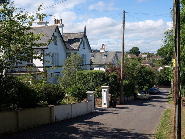
Image: © Derek Harper Taken: 9 Jul 2010
A steep road of large semi-detached houses, leading down from Jubilee Park to West Hill.
Images are licensed for reuse under creativecommons.org/licenses/by-sa/2.0
Image Location
Latitude
50.629367
Longitude
-3.331104