Elgin Rd Poole
Introduction
The photograph on this page of Elgin Rd Poole by Nigel Mykura as part of the Geograph project.
The Geograph project started in 2005 with the aim of publishing, organising and preserving representative images for every square kilometre of Great Britain, Ireland and the Isle of Man.

There are currently over 7.5m images from over 14,400 individuals and you can help contribute to the project by visiting https://www.geograph.org.uk
Elgin Rd Poole
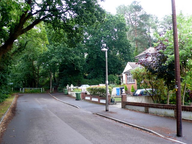
Image: © Nigel Mykura Taken: 13 Jul 2010
View east near the end of this cul-de-sac. Elgin Rd is a long residential road that runs east from Sandbanks Rd In Lower Parkstone.Although shown on the map as continuing east past this point it can be seen that the road terminates at a metal barrier. Beyond the barrier there is little more than a muddy track through the woods.
Images are licensed for reuse under creativecommons.org/licenses/by-sa/2.0
Image Location
Latitude
50.714745
Longitude
-1.940884