Coastguard buildings, Herne Bay
Introduction
The photograph on this page of Coastguard buildings, Herne Bay by E Gammie as part of the Geograph project.
The Geograph project started in 2005 with the aim of publishing, organising and preserving representative images for every square kilometre of Great Britain, Ireland and the Isle of Man.

There are currently over 7.5m images from over 14,400 individuals and you can help contribute to the project by visiting https://www.geograph.org.uk
Coastguard buildings, Herne Bay
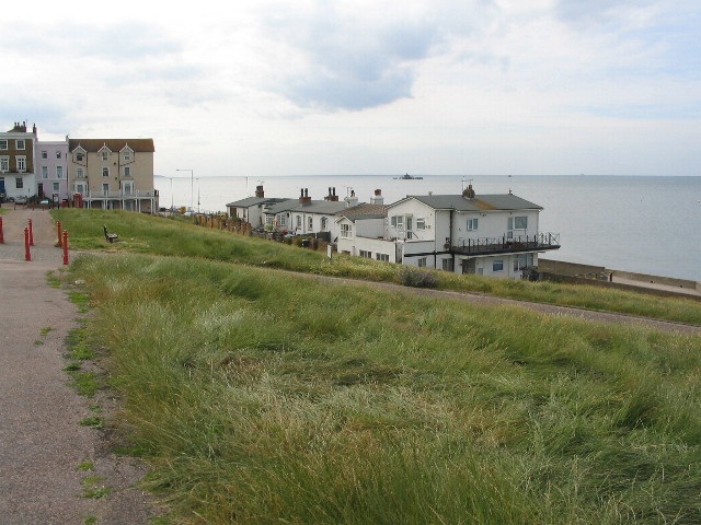
Image: © E Gammie Taken: 6 Jul 2010
The east end of Herne Bay, below Beacon Hill. At sea, beyond the buildings, is the detached end of the old Herne Bay pier in TR1669.
Images are licensed for reuse under creativecommons.org/licenses/by-sa/2.0
Image Location
Latitude
51.372942
Longitude
1.135108