Farm buildings and bothy, Barrisdale
Introduction
The photograph on this page of Farm buildings and bothy, Barrisdale by Nic Bullivant as part of the Geograph project.
The Geograph project started in 2005 with the aim of publishing, organising and preserving representative images for every square kilometre of Great Britain, Ireland and the Isle of Man.

There are currently over 7.5m images from over 14,400 individuals and you can help contribute to the project by visiting https://www.geograph.org.uk
Farm buildings and bothy, Barrisdale
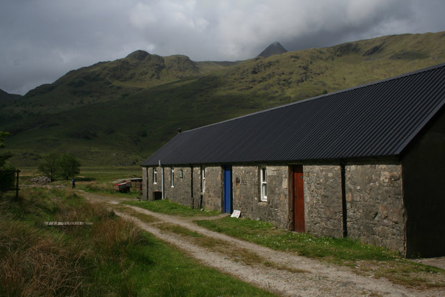
Image: © Nic Bullivant Taken: 6 Jun 2010
Ladhar Bheinn makes an appearance behind.
Images are licensed for reuse under creativecommons.org/licenses/by-sa/2.0
Image Location
Latitude
57.079395
Longitude
-5.512581