Chopsticks Restaurant
Introduction
The photograph on this page of Chopsticks Restaurant by David Anstiss as part of the Geograph project.
The Geograph project started in 2005 with the aim of publishing, organising and preserving representative images for every square kilometre of Great Britain, Ireland and the Isle of Man.

There are currently over 7.5m images from over 14,400 individuals and you can help contribute to the project by visiting https://www.geograph.org.uk
Chopsticks Restaurant
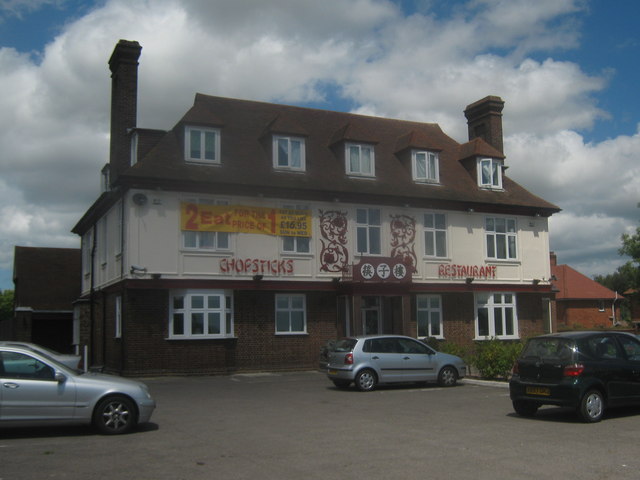
Image: © David Anstiss Taken: 11 Jul 2010
Converted Pub on the A28 Island Road near Hersden. This was 'The Black Horse' built in 1931. When Hersden was Chislet Colliery Village.
Images are licensed for reuse under creativecommons.org/licenses/by-sa/2.0
Image Location
Latitude
51.315246
Longitude
1.163321