Hersden Village Sign
Introduction
The photograph on this page of Hersden Village Sign by David Anstiss as part of the Geograph project.
The Geograph project started in 2005 with the aim of publishing, organising and preserving representative images for every square kilometre of Great Britain, Ireland and the Isle of Man.

There are currently over 7.5m images from over 14,400 individuals and you can help contribute to the project by visiting https://www.geograph.org.uk
Hersden Village Sign
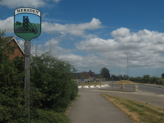
Image: © David Anstiss Taken: 11 Jul 2010
On the A28 Island Road, close to the roundabout with Blackthorn Road. The sign was erected by Sturry Parish Council in partnership with Kent County Council.
Images are licensed for reuse under creativecommons.org/licenses/by-sa/2.0
Image Location
Latitude
51.312437
Longitude
1.154085