Old School, Aldbar
Introduction
The photograph on this page of Old School, Aldbar by Anne Burgess as part of the Geograph project.
The Geograph project started in 2005 with the aim of publishing, organising and preserving representative images for every square kilometre of Great Britain, Ireland and the Isle of Man.

There are currently over 7.5m images from over 14,400 individuals and you can help contribute to the project by visiting https://www.geograph.org.uk
Old School, Aldbar
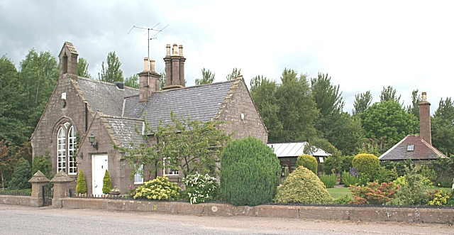
Image: © Anne Burgess Taken: 29 Jun 2006
It wasn't until I looked at the old Ordnance Survey map while submitting this shot that I realised that this building is the former school, not a disused church.
Images are licensed for reuse under creativecommons.org/licenses/by-sa/2.0
Image Location
Latitude
56.70546
Longitude
-2.695738