Wheatfield above Woodmanton
Introduction
The photograph on this page of Wheatfield above Woodmanton by Derek Harper as part of the Geograph project.
The Geograph project started in 2005 with the aim of publishing, organising and preserving representative images for every square kilometre of Great Britain, Ireland and the Isle of Man.

There are currently over 7.5m images from over 14,400 individuals and you can help contribute to the project by visiting https://www.geograph.org.uk
Wheatfield above Woodmanton
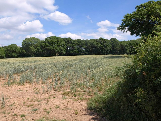
Image: © Derek Harper Taken: 9 Jul 2010
The view over the gate shown in Image, with rather parched-looking wheat. The trees on the far side line the busy road referred to.
Images are licensed for reuse under creativecommons.org/licenses/by-sa/2.0
Image Location
Latitude
50.666869
Longitude
-3.385087