Middleton One Row
Introduction
The photograph on this page of Middleton One Row by Chris Heaton as part of the Geograph project.
The Geograph project started in 2005 with the aim of publishing, organising and preserving representative images for every square kilometre of Great Britain, Ireland and the Isle of Man.

There are currently over 7.5m images from over 14,400 individuals and you can help contribute to the project by visiting https://www.geograph.org.uk
Middleton One Row
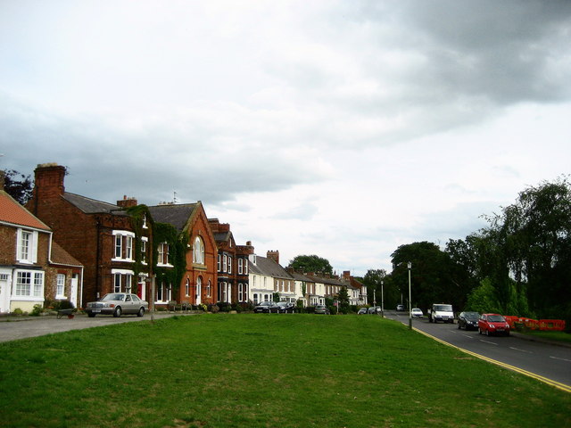
Image: © Chris Heaton Taken: 6 Jul 2010
The village is arranged in a line beside a road, rather like a sea front - except they overlook a bank that drops steeply down to woodland that conceals the River Tees.
Images are licensed for reuse under creativecommons.org/licenses/by-sa/2.0
Image Location
Latitude
54.504076
Longitude
-1.456548