Barnardiston All Saints Church
Introduction
The photograph on this page of Barnardiston All Saints Church by Adrian S Pye as part of the Geograph project.
The Geograph project started in 2005 with the aim of publishing, organising and preserving representative images for every square kilometre of Great Britain, Ireland and the Isle of Man.

There are currently over 7.5m images from over 14,400 individuals and you can help contribute to the project by visiting https://www.geograph.org.uk
Barnardiston All Saints Church
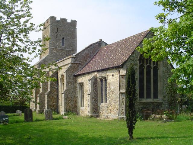
Image: © Adrian S Pye Taken: 29 Apr 2007
Above the lovely 14th c. north door one can still see evidence of the old porch roof. Stone tracery and pinnacles remain, but mean little on their own. The later porch is a much taller structure than the original must have been. Within the porch there is a stoup. On the north of the nave is a square turret containing the stairs to the rood loft. Outside on the south buttress of the nave you will find 2 scratch dials, the upper of which seems to bear a date in Roman numerals. There are two pre-reformation bells in the tower. The headstock on one is dated 1622. There is a 15th c. screen
Images are licensed for reuse under creativecommons.org/licenses/by-sa/2.0
Image Location
Latitude
52.110141
Longitude
0.498358