Old Potash Farm
Introduction
The photograph on this page of Old Potash Farm by John Brightley as part of the Geograph project.
The Geograph project started in 2005 with the aim of publishing, organising and preserving representative images for every square kilometre of Great Britain, Ireland and the Isle of Man.

There are currently over 7.5m images from over 14,400 individuals and you can help contribute to the project by visiting https://www.geograph.org.uk
Old Potash Farm
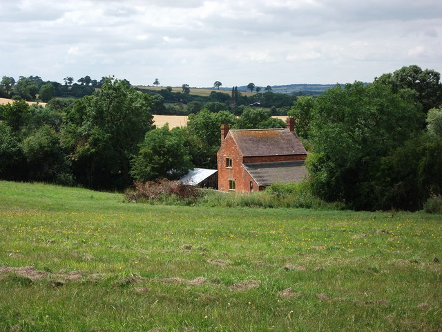
Image: © John Brightley Taken: 10 Jul 2010
There are two groups of buildings marked as 'Potash Farm' on the 1:25,000 OS map. This is the northernmost one, which seems to be in fact 'Old Potash Farm' - the entrance can be seen on Image It is a small cottage and outbuildings which appear to be being renovated.
Images are licensed for reuse under creativecommons.org/licenses/by-sa/2.0
Image Location


Leaflet Map data © OpenStreetMap
Latitude
52.230107
Longitude
-1.30244