A snow covered path
Introduction
The photograph on this page of A snow covered path by Ann Cook as part of the Geograph project.
The Geograph project started in 2005 with the aim of publishing, organising and preserving representative images for every square kilometre of Great Britain, Ireland and the Isle of Man.

There are currently over 7.5m images from over 14,400 individuals and you can help contribute to the project by visiting https://www.geograph.org.uk
A snow covered path
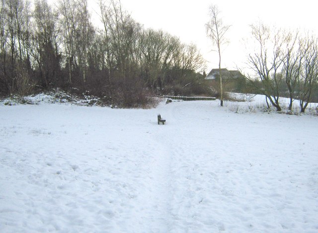
Image: © Ann Cook Taken: 24 Dec 2009
This path is leading from Pingle Croft to Back Lane. The Ley Inn is behind the trees on the left.
Images are licensed for reuse under creativecommons.org/licenses/by-sa/2.0
Image Location
Latitude
53.699878
Longitude
-2.648386