Shop and Houses in Heneage road
Introduction
The photograph on this page of Shop and Houses in Heneage road by John Firth as part of the Geograph project.
The Geograph project started in 2005 with the aim of publishing, organising and preserving representative images for every square kilometre of Great Britain, Ireland and the Isle of Man.

There are currently over 7.5m images from over 14,400 individuals and you can help contribute to the project by visiting https://www.geograph.org.uk
Shop and Houses in Heneage road
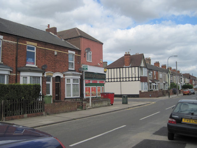
Image: © John Firth Taken: 5 Jul 2010
The shop used to be the Co-op and is on the corner of Heneage Road and Torrington Street
Images are licensed for reuse under creativecommons.org/licenses/by-sa/2.0
Image Location
Latitude
53.556859
Longitude
-0.072635