Byway to Salford [1]
Introduction
The photograph on this page of Byway to Salford [1] by Michael Dibb as part of the Geograph project.
The Geograph project started in 2005 with the aim of publishing, organising and preserving representative images for every square kilometre of Great Britain, Ireland and the Isle of Man.

There are currently over 7.5m images from over 14,400 individuals and you can help contribute to the project by visiting https://www.geograph.org.uk
Byway to Salford [1]
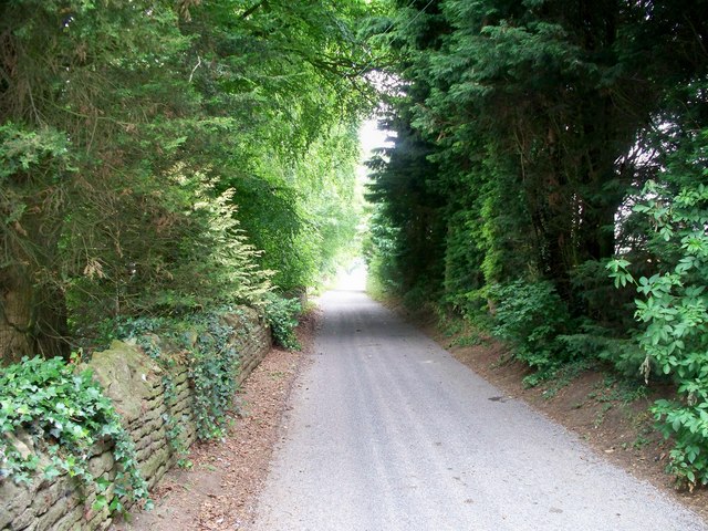
Image: © Michael Dibb Taken: 24 Jun 2010
The restricted byway is well surfaced at this point as it provides access to Cleeves Farm.
Images are licensed for reuse under creativecommons.org/licenses/by-sa/2.0
Image Location


Leaflet Map data © OpenStreetMap
Latitude
51.951682
Longitude
-1.544815