Bourne Park
Introduction
The photograph on this page of Bourne Park by Nigel Mykura as part of the Geograph project.
The Geograph project started in 2005 with the aim of publishing, organising and preserving representative images for every square kilometre of Great Britain, Ireland and the Isle of Man.

There are currently over 7.5m images from over 14,400 individuals and you can help contribute to the project by visiting https://www.geograph.org.uk
Bourne Park
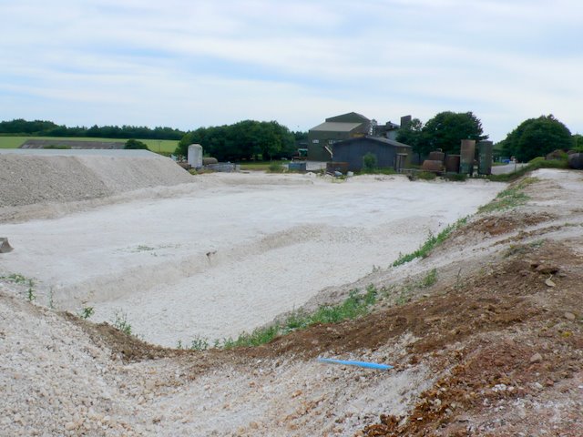
Image: © Nigel Mykura Taken: 11 Jul 2010
This is a large agricultural establishment that includes a piggery that you certainly know is there when the wind is blowing in the right direction. View from the road running alongside. A large excavation had been made in the chalk for the base of a new building.
Images are licensed for reuse under creativecommons.org/licenses/by-sa/2.0
Image Location
Latitude
50.778216
Longitude
-2.392541