New Pedestrian Zone,Church Street alongside St. Mark's Church
Introduction
The photograph on this page of New Pedestrian Zone,Church Street alongside St. Mark's Church by P Flannagan as part of the Geograph project.
The Geograph project started in 2005 with the aim of publishing, organising and preserving representative images for every square kilometre of Great Britain, Ireland and the Isle of Man.

There are currently over 7.5m images from over 14,400 individuals and you can help contribute to the project by visiting https://www.geograph.org.uk
New Pedestrian Zone,Church Street alongside St. Mark's Church
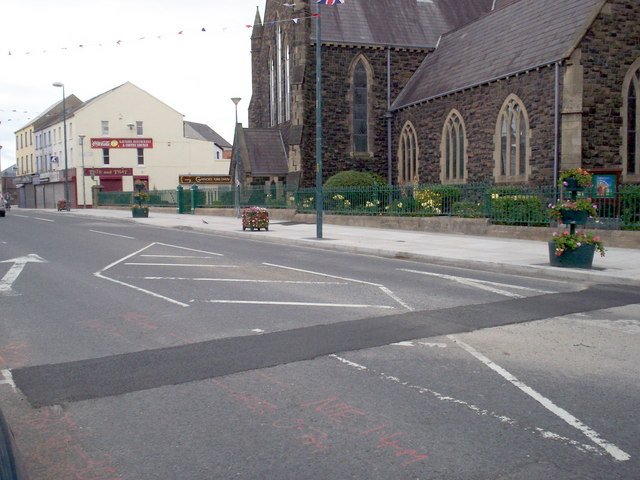
Image: © P Flannagan Taken: 11 Jul 2010
Part of the £5.3 million public realm works in Portadown town centre.
Images are licensed for reuse under creativecommons.org/licenses/by-sa/2.0
Image Location
Latitude
54.422378
Longitude
-6.444589