What became James Street
Introduction
The photograph on this page of What became James Street by DS Pugh as part of the Geograph project.
The Geograph project started in 2005 with the aim of publishing, organising and preserving representative images for every square kilometre of Great Britain, Ireland and the Isle of Man.

There are currently over 7.5m images from over 14,400 individuals and you can help contribute to the project by visiting https://www.geograph.org.uk
What became James Street
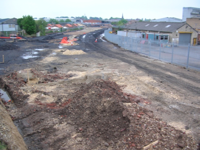
Image: © DS Pugh Taken: 14 May 2006
Construction works in progress to make James Street a through road on the old council municipal refuse site. This view now is very different.
Images are licensed for reuse under creativecommons.org/licenses/by-sa/2.0
Image Location
Latitude
53.961557
Longitude
-1.069327