The Horses Field
Introduction
The photograph on this page of The Horses Field by Bob Abell as part of the Geograph project.
The Geograph project started in 2005 with the aim of publishing, organising and preserving representative images for every square kilometre of Great Britain, Ireland and the Isle of Man.

There are currently over 7.5m images from over 14,400 individuals and you can help contribute to the project by visiting https://www.geograph.org.uk
The Horses Field
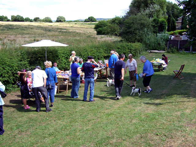
Image: © Bob Abell Taken: 11 Jul 2010
The field was rescued from Developers, a few years ago, by an Action Committee. Once a year, the public are invited to walk on the field to comply with a local bye-law.
Images are licensed for reuse under creativecommons.org/licenses/by-sa/2.0
Image Location
Latitude
53.445692
Longitude
-2.146199