Takeley Station
Introduction
The photograph on this page of Takeley Station by PAUL FARMER as part of the Geograph project.
The Geograph project started in 2005 with the aim of publishing, organising and preserving representative images for every square kilometre of Great Britain, Ireland and the Isle of Man.

There are currently over 7.5m images from over 14,400 individuals and you can help contribute to the project by visiting https://www.geograph.org.uk
Takeley Station
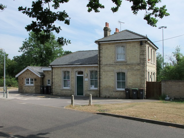
Image: © PAUL FARMER Taken: 27 Jun 2010
Takeley station served the Hockerill area of Takeley. Services Began on the 7 November 1910 and ended on the 3 March 1952. The station along with almost all the intermediate stations on the Bishop's Stortford-Braintree branch were little used.
Images are licensed for reuse under creativecommons.org/licenses/by-sa/2.0
Image Location
Latitude
51.866437
Longitude
0.267069