Valley bottom
Introduction
The photograph on this page of Valley bottom by Michael Dibb as part of the Geograph project.
The Geograph project started in 2005 with the aim of publishing, organising and preserving representative images for every square kilometre of Great Britain, Ireland and the Isle of Man.

There are currently over 7.5m images from over 14,400 individuals and you can help contribute to the project by visiting https://www.geograph.org.uk
Valley bottom
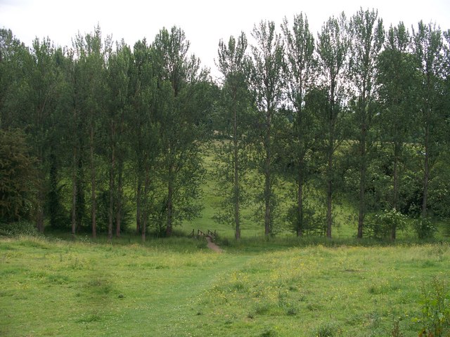
Image: © Michael Dibb Taken: 24 Jun 2010
The footpath crosses the small stream at the bottom of the valley and then ascends towards Chipping Norton. Another path branches off from this side of the footbridge and runs to the left to the restricted byway from Over Norton to Salford.
Images are licensed for reuse under creativecommons.org/licenses/by-sa/2.0
Image Location
Latitude
51.942455
Longitude
-1.553637