Looking along the A827
Introduction
The photograph on this page of Looking along the A827 by C Michael Hogan as part of the Geograph project.
The Geograph project started in 2005 with the aim of publishing, organising and preserving representative images for every square kilometre of Great Britain, Ireland and the Isle of Man.

There are currently over 7.5m images from over 14,400 individuals and you can help contribute to the project by visiting https://www.geograph.org.uk
Looking along the A827
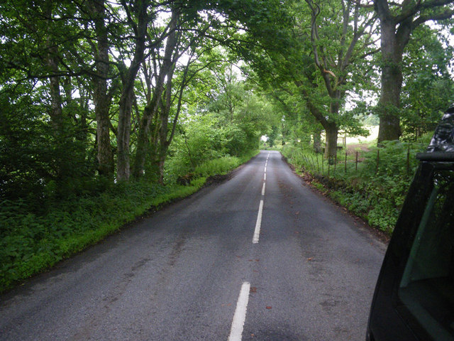
Image: © C Michael Hogan Taken: 10 Jul 2010
Photographer is standing on the roadway pavement. The forest begins to thin out slightly along the southern roadway verge, unlike the dense woodland associated with NN8147 at the south of the A827.
Images are licensed for reuse under creativecommons.org/licenses/by-sa/2.0
Image Location
Latitude
56.609269
Longitude
-3.928284