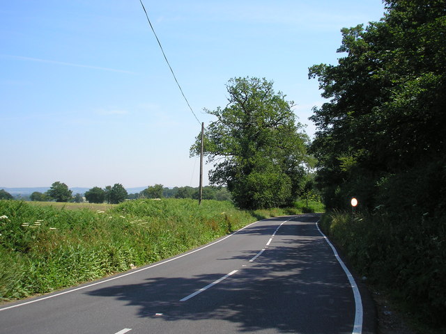
Looking east along Moor Lane (B2028), Surrey
Introduction
The photograph on this page of Looking east along Moor Lane (B2028), Surrey by Dr Neil Clifton as part of the Geograph project.
The Geograph project started in 2005 with the aim of publishing, organising and preserving representative images for every square kilometre of Great Britain, Ireland and the Isle of Man.
There are currently over 7.5m images from over 14,400 individuals and you can help contribute to the project by visiting https://www.geograph.org.uk

Image: © Dr Neil Clifton Taken: 3 Jul 2006
Many second-class and even unclassified roads in this area carry high traffic densities - car ownership is virtually universal and public transport not usually available. But the B2028, which leads from Dormansland in Surrey to Edenbridge in Kent, does have its quiet moments, as seen here. At this point the road is known as Moor Lane.

